")


June
Saturday
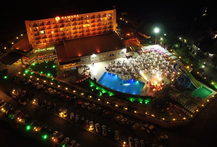
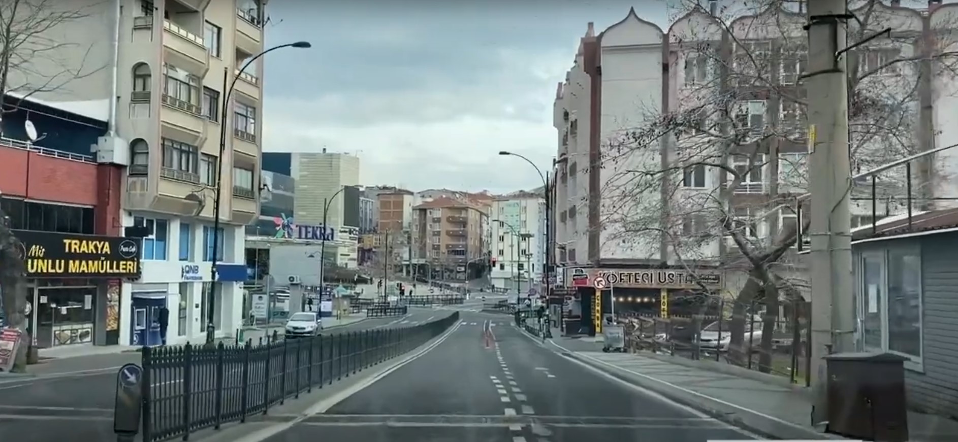
Geography: Suleymanpasa
Province: Tekirdag
/ District: Suleymanpasa

Geographical Location of Tekirdag
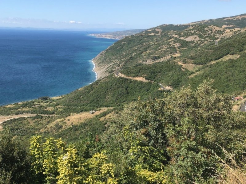
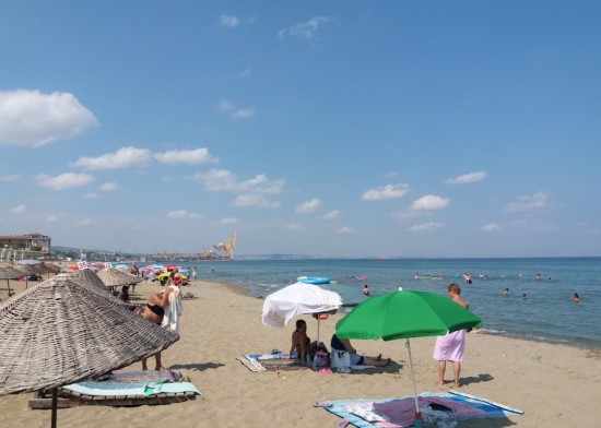
Tekirdag is one of three provinces in northwestern Turkiye, located entirely within Thrace and north of the Marmara Sea. It is also one of six provinces in Turkiye with coastlines on two seas. Tekirdag lies between 41º 34' 52" - 40º 52' 53" - 41º 35' 28" – 40º 32' 23" north latitudes and 28º 09' 14" - 26º 42' 42" – 28º 08' 34" – 26º 54' 24" east longitudes. The province covers an area of 6,313 km² and its elevation above sea level ranges from 0 to 200 meters. It is surrounded by Silivri and Catalca districts of Istanbul to the east, Vize, Luleburgaz, Babaeski and Pehlivankoy districts of Kirklareli to the north, and the Marmara Sea and Gelibolu district of Canakkale to the south.

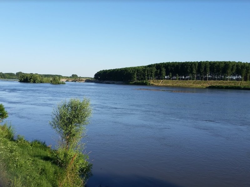
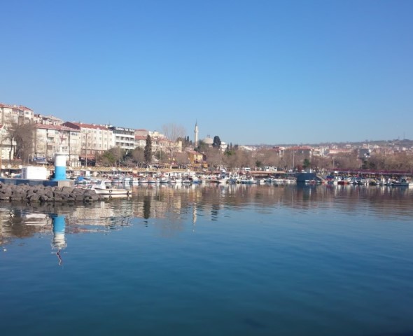
Rivers of Tekirdag and the Marmara Sea
Tekirdag, although located in the Ergene basin, has a sparse and limited river network due to insufficient vegetation, rainfall, and geological structure. The flow rates and regimes of the rivers are irregular and proportional to the amount and regime of rainfall. In summer, their waters decrease and they dry up, while in winter, they increase and even overflow with rainfall and snowmelt. The streams within the province's borders only carry rainwater and snowmelt. Furthermore, there are no sources feeding them. The province's rivers flow into the Gulf of Saros, the Sea of Marmara, and the Black Sea. The Ergene River and its tributaries, flowing east-west within the Ergene basin, are the most important rivers of the province. Originating in Güneşkaya near Saray, the Ergene flows southwest, joining the Corlu and Vize streams near Inanli village in Muratli, thus taking the name Ergene River. From the south, the Hayrabolu Cene (Besiktepe) streams join the Ergene River. After leaving the provincial borders, the Ergene River joins the Meric River near İpsala and empties its waters into the Gulf of Saros.

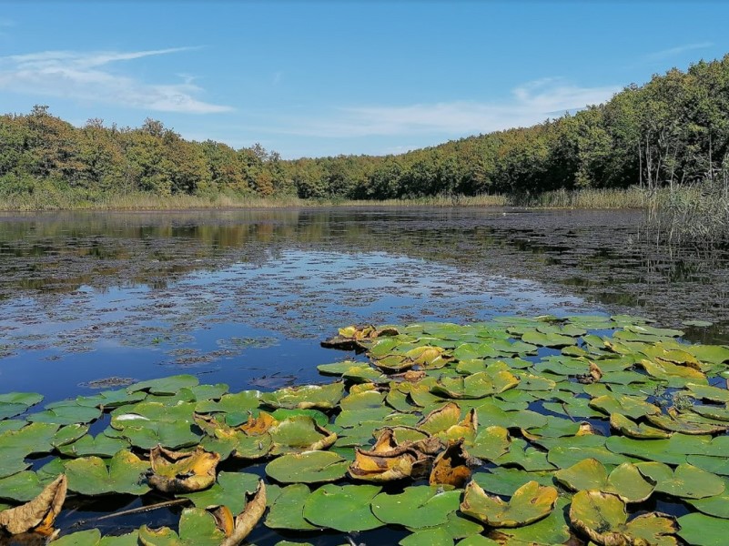
Vegetation of Tekirdag
The northern slopes of the Istranca massif, stretching north of Tekirdağ towards Saray, are covered with beech forests due to higher rainfall. Rhododendrons form the undergrowth in this area. As one moves towards the southern slopes and further south, oak and hornbeam trees replace beech due to decreasing rainfall.

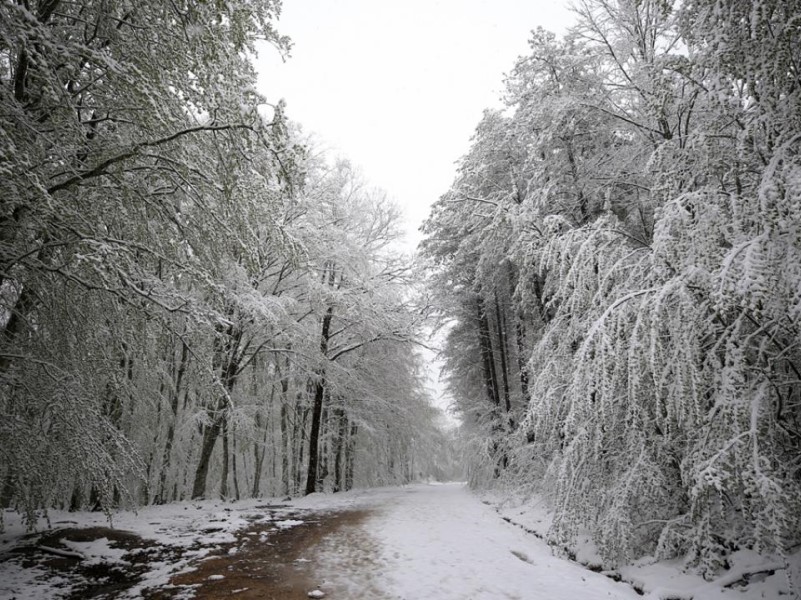
Climate of Tekirdag
Considering average temperatures and general humidity indices, the climate of Tekirdağ province is characterized as temperate semi-humid. As one moves inland from the coastal areas, slight variations in temperature and precipitation are observed due to the influence of distance from the sea and altitude. Along the Marmara Sea coast, characteristics of the Mediterranean climate are seen, with hot and dry summers and mild and rainy winters. However, the influence of the Black Sea climate mitigates summer drought. Snowfall is common in winter. As one moves inland, semi-continental climate characteristics become more pronounced, with drier summers and colder winters.
More Content for the City

- Rural Neighborhoods
- Ahmedikli - Ahmetce - Akcahalil - Araphaci - Asagikilicli - Avsar - Banarli - Barbaros - Biyikali - Canakci - Dedecik - Demirli - Dogrukaracamurat - Evciler - Ferhadanli - Gazioglu - Generli - Gunduzlu - Guvecli - Hacikoy - Husunlu - Isiklar - Inecik - Karabezirgan - Karacakilavuz - Karacali - Karaevli - Karahalil - Karahisarli - Karansilli - Kasikci - Kayi - Kazandere - Klavuzlu - Kiniklar - Koseilyas - Kumbag - Mahramli - Naipkoy - Nusratfaki - Nusratli - Oguzlu - Ormanli - Ortaca - Orucbeyli - Osmanli - Otmanli - Selcuk - Semetli - Seymenli - Tasumurca - Tatarli - Yagci - Yayabasi - Yazir - Yenice - Yenikoy - Yukarikilicli - Yuva