")


June
Monday
Marmaraereğlisi - Marmaraereglisi - Мармара Ерейли - Μαρμαρά Ερέγλισι
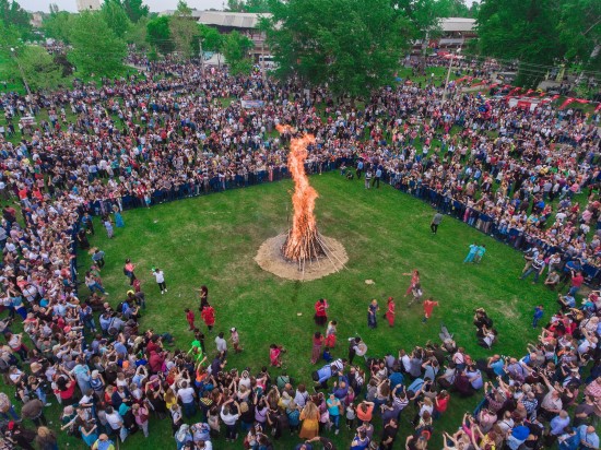
Marmaraereglisi is a settlement located on the Istanbul border of the Thrace Region, where summer houses are located and where Istanbulites come for short vacations. The increasing pollution in the Marmara Sea has caused the city's tourism potential to decrease. However, with the completion of the Perinthos Ancient City excavations in Marmaraereglisi, it will be possible to compensate for the loss in sea tourism with the added value that historical tourism will bring.
The city is located on the Istanbul-Tekirdag-Canakkale road and with the development of the service sector, Marmaraereglisi can be a tourism stop that can be visited before Istanbul.
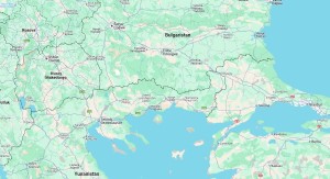
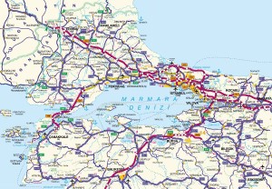
It is on the Istanbul-Tekirdag (E-84) highway route, 38 km from Tekirdag center and 90 km from Istanbul. It is surrounded by the Silivri district of Istanbul province to the east, the Corlu district to the west and north, and the Marmara Sea to the south.
The district has a surface area of 183 km² and, apart from very small elevations, it does not have a mountainous or forested land structure. The district land consists generally of arable land. There is Turkmenli Reservoir in the northwest of the district, which was opened to operation by the DSI for irrigation purposes in 2001. Although there are no major rivers, the Baglar Creek in the west, the Kamaradere Creek in the east, and the Kinikli Creek in the Sultankoy neighborhood, which are described as streams, flow into the Marmara Sea.
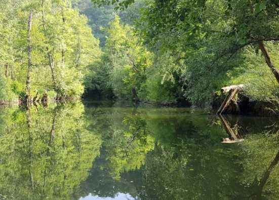
There is a 32 km long coastline from the district, 21 km in the direction of Tekirdag and 11 km in the direction of Istanbul. In some regions, there is a sandy coastal structure that can be considered a beach, and partly coastal elevations that can be considered "cliffs". In terms of its geological structure, which is known to be of importance in the physical structuring of the district, the coastal part is in a 1st degree earthquake zone, and the inland parts are in a 2nd degree earthquake zone.
There is a small-scale fishing harbor in the district center.
The average altitude of the district center is 1 m.
The district climate is mild and rainy in winters and hot in summers. The average annual temperature is 13.9 degrees. The hottest month is August with 23.9 degrees, and the coldest month is January with 5.0 degrees.
The total annual precipitation is 485 mm. The least precipitation is in August with 2.6 mm, and the rainiest month is December with 87 mm.
Marmaraereglisi
|
Marmaraereglisi District Governorate
|
Marmaraereglisi Municipality
|
| Area | 175 km² |
| Altitude | 8 m |
| Population 2025 | 33.623 |
| Telephone Area Code | 282 |
| License Plate Code | 59 |
| Postal Code | 59740 |
| Marmaraereglisi District Governor | Gokhan Gurbuzerol |
| Mayor of Marmaraereglisi | Mustafa Onur Bozkurter |
| Update | |
| View | 3.197 |
Marmaraereglisi Statistics
Detailed statistical data of the Marmaraereglisi region are available on our pages.

Marmaraereglisi Population Information
Province, district, town, neighborhood, and village population information

Marmaraereglisi Migration Information
Immigration information received and given by Thracian settlements

Marmaraereglisi Economic Information
Detailed statistics on the livelihoods of the Thracian people

Marmaraereglisi Tourism Information
Tourism data of the Marmaraereglisi region

Marmaraereglisi Health Information
Health personnel statistics with birth and death information in Marmaraereglisi

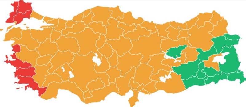
Marmaraereglisi Election Results
Results of the Turkish parliamentary general elections

Other Marmaraereglisi Statistics
Other statistics related to the Marmaraereglisi region
Marmaraereglisi Topics

History
History of Marmaraereglisi

Geography
Geography of Marmaraereglisi

Education
Marmaraereglisi educational institutions

Administrative Status
Marmaraereglisi administrative administrations

Economy
Marmaraereglisi economy

Health
Marmaraereglisi health institutions

Transport
Marmaraereglisi transportation information

Press
Marmaraereglisi press organizations

Sport
Marmaraereglisi sports infrastructure and clubs

Celebrities
Celebrities born in Marmaraereglisi
Marmaraereglisi Tourism Information
Updating
Data entry on our pages is ongoing and will be published as soon as possible.
Updating
Data entry on our pages is ongoing and will be published as soon as possible.
Updating
Data entry on our pages is ongoing and will be published as soon as possible.
Updating
Data entry on our pages is ongoing and will be published as soon as possible.
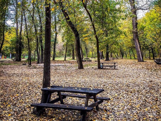
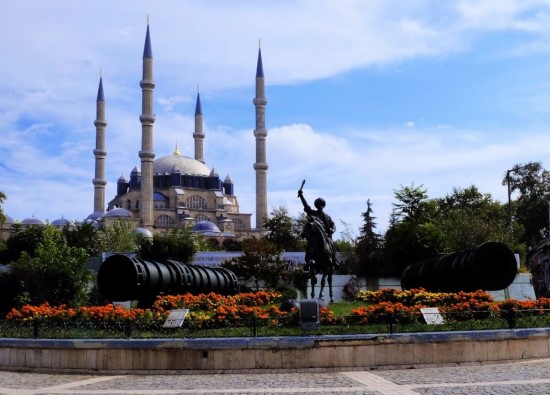
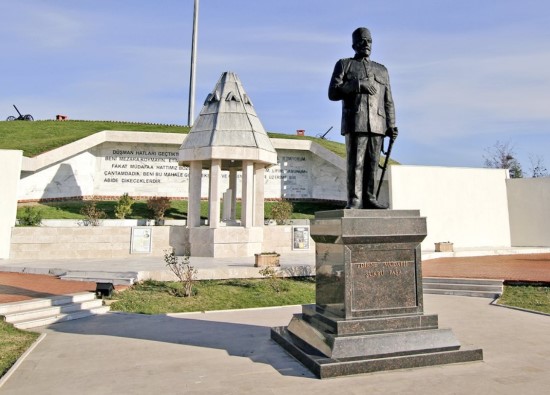
Marmaraereglisi Photos

Marmaraereglisi Transportation
- Rural Neighborhoods
- Cesmeli - Sultankoy - Turkmenli - Yakuplu - Yeniciftlik