")


June
Tuesday
Şarköy - Sarkoy - Шаркьой - Γειτονιές Σάρκιοϊ
Sarkoy is a candidate to become a tourism center with its blue flag sea, Murefte's famous grapes and wine production. Sarkoy, which still attracts many local tourists from Istanbul and Thrace, is currently far below its potential. The fact that the city is covered with many buildings without architectural beauty, the service providers cannot reach the quality of their counterparts in the Aegean and Mediterranean regions, the wine made from Murefte grapes is not sufficiently promoted, and the inadequate service approach in Ucmakdere, which is a suitable area for paragliding, negatively affects Sarkoy's potential in tourism.
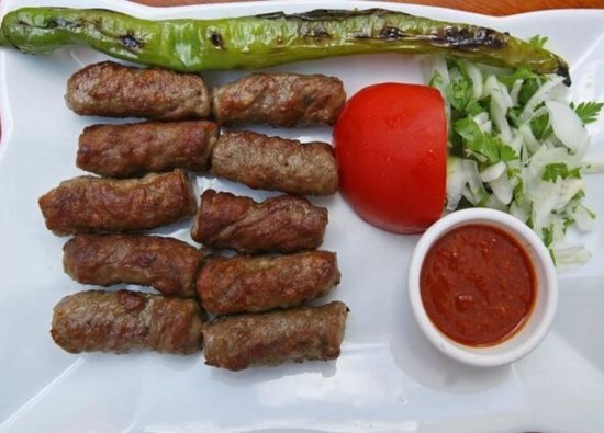
Although Sarkoy has the opportunity to come to the fore with tourism, it does not fall behind the surrounding settlements in terms of agriculture and animal husbandry. The most important industrial production in the city is wine. Winemaking dates back to ancient times in this region. However, most of the wines produced in Sarkoy are sold under the brands of wine companies located in other regions of Turkey, and the failure to establish a brand in winemaking causes Sarkoy to lose a great deal of its potential earnings.
The development of Sarkoy, located on the Istanbul-Canakkale road, depends on the smart use of the wine-tourism-agriculture trio. In addition, the fact that Sarkoy has suitable trails for nature walks in addition to paragliding, windsurfing and swimming also constitutes an important advantage in terms of tourism.
Sarkoy is 68 km from the city center by coastal road and 93 km by E-84 highway. Malkara is to the north, Tekirdag is to the northeast, the Sea of Marmara is to the south and southeast, and Gelibolu is to the west.
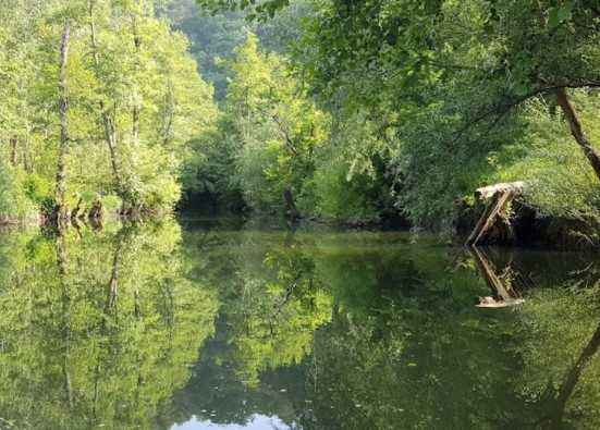
Sarkoy and Murefte are dominated by the Ganos Mountains. Although they rise 945 m high, they appear to rise abruptly from the sea, giving them a lofty mountain appearance. Between the Marmara Basins and Ganos Bay, there are three fault lines starting from Muratli and Corlu and extending southwest. For this reason, SARKOY-MUREFTE-TEKIRDAG is one of Turkiye's earthquake-prone regions. The region has been declared a first-degree earthquake zone by the MTA Institute. The northern, eastern, and western parts of Sarkoy are quite rugged. The Sarkoy coastal plain is the plain formed by the stream beds that reach the sea on the coasts within the district borders of Sarkoy. The Sarkoy Plain is an alluvial plain extending from Hoskoy to Kizilcaterzi on the southern slopes of the Ganos Mountains. Behind the Sarkoy Plain are coastal terraces. These terraces are particularly prominent along the Murefte and Sarkoy coasts compared to other coasts.
The most important rivers flowing within the district borders are the Gazikoy, Hoskoy, Golcuk, and Tepekoy streams. These streams dry up either completely or partially in the summer. Golcuk Stream follows the north of the district and empties into the Gulf of Saros.
The district's natural vegetation: Maquis and shrubland that develop in accordance with the climate type on the slopes facing the Sea of Marmara. In the inland areas, species of oak that shed their leaves in winter, including hornbeam, ash, linden, plane, and elm, are found.
A large portion of the district's land is not suitable for agriculture. It is quite rich in forests. (203,090 decares)
Sarkoy has a semi-humid climate. Its climate is transitional between the Mediterranean and Black Sea climates. Summers are hot and dry, while winters are mild and rainy. The interior is more influenced by a continental climate. Average annual rainfall is 550.6 mm.
Sarkoy
|
Sarkoy District Governorate
|
Sarkoy Municipality
|
| Area | 487 km² |
| Altitude | 15 m |
| Population 2025 | 34.458 |
| Telephone Area Code | 282 |
| License Plate Code | 59 |
| Postal Code | 59800 |
| Sarkoy District Governor | Ahmet Naci Helvaci |
| Mayor of Sarkoy | Alpay Var |
| Update | |
| View | 4.259 |
Sarkoy Statistics
Detailed statistical data of the Sarkoy region are available on our pages.

Sarkoy Population Information
Province, district, town, neighborhood, and village population information

Sarkoy Migration Information
Immigration information received and given by Thracian settlements

Sarkoy Economic Information
Detailed statistics on the livelihoods of the Thracian people

Sarkoy Tourism Information
Tourism data of the Sarkoy region

Sarkoy Health Information
Health personnel statistics with birth and death information in Sarkoy

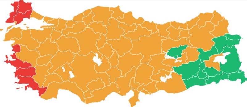
Sarkoy Election Results
Results of the Turkish parliamentary general elections

Other Sarkoy Statistics
Other statistics related to the Sarkoy region
Sarkoy Topics

History
History of Sarkoy

Geography
Geography of Sarkoy

Education
Sarkoy educational institutions

Administrative Status
Sarkoy administrative administrations

Economy
Sarkoy economy

Health
Sarkoy health institutions

Transport
Sarkoy transportation information

Press
Sarkoy press organizations

Sport
Sarkoy sports infrastructure and clubs

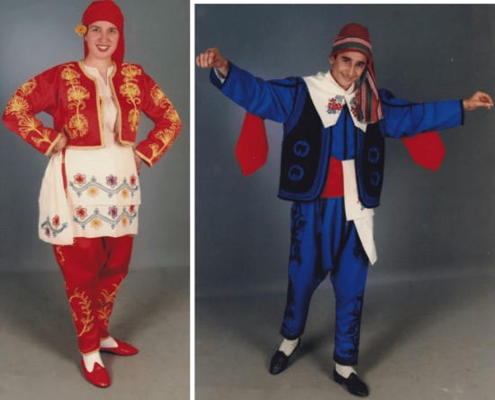
Celebrities
Celebrities born in Sarkoy
Sarkoy Tourism Information

Adrenaline junkies meet the sky in Uçmakdere
In Tekirdağ's Uçmakdere region, adrenaline junkies paraglide from 250- and 600-meter runways to admire the stunning natural landscape from the sky. This event, which attracts great interest on weekends, brings together visitors from Istanbul and the surrounding area.
Updating
Data entry on our pages is ongoing and will be published as soon as possible.
Updating
Data entry on our pages is ongoing and will be published as soon as possible.
Updating
Data entry on our pages is ongoing and will be published as soon as possible.
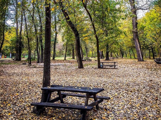
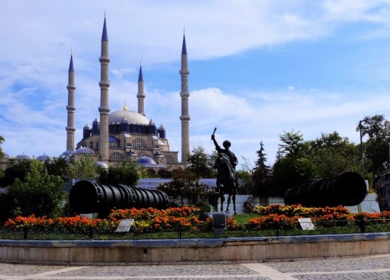
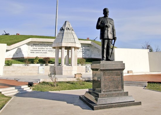
Sarkoy Photos

Sarkoy Transportation
- Rural Neighborhoods
- Asagikalamis - Beyoglu - Bulgur - Cengelli - Cinarli - Eriklice - Gazikoy - Golcuk - Guzelkoy - Hoskov - Ildebaglari - Isakli - Kizilcaterzi - Kirazli - Kocaali - Mursalli - Murefte - Palamut - Sofukoy - Senkoy - Tepekoy - Ucmandere - Ulaman - Yayaagac - Yayakoy - Yenikoy - Yorguc - Yukarikalamis