")


June
Monday
Ergene - Ergene - Ергене - Εργίνος
Under Law No. 6360, Ergene District was established in Tekirdag Province, separating from Corlu District. Ergene District was formed by merging the Saglik and Yesiltepe neighborhoods of Corlu District with the municipalities of Ulas, Misinli, and Velimese, and the villages of Pasakoy, Pinarbasi, Ahimehmet, Igneler, Vakiflar, Esenler, Kirkgoz, Bakirca, Karamehmet, and Yulafli. The district center is Marmaracik.
The district generally has flat terrain, and its soil is fertile. Located in the interior, it has a continental climate, with hot and dry summers and cold and rainy winters.
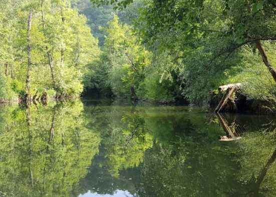
It is the area in Thrace with the least rainfall. 20% of the rainfall occurs in spring, 10% in summer, 30% in autumn, and 40% in winter. The Ergene stream passes through the district. This stream is a tributary of the Meric River, the largest river in Thrace. Near Muratli District, it merges with Corlu Creek and flows into the Meric River near Uzunkopru District. The Ergene Stream is fed by the eastern slopes of the Istranca Mountains and connects with several seasonal creeks. The Ergene River is used for irrigating agricultural lands. Due to industrial pollution, Corlu Creek has become unusable. Other important creeks are Pinarbasi, Esece, and Ahimehmet. Rich in sand and stone, Yulafli Quarry in the region meets the needs of the Thrace Region.
It appears that the Ergene District's water withdrawals for drinking, utility, and industrial purposes exceed those for irrigation. There is no problem with water production capacity.
Ergene
|
Ergene District Governorate
|
Ergene Municipality
|
| Area | 418 km² |
| Altitude | 170 m |
| Population 2025 | 68.648 |
| Telephone Area Code | 282 |
| License Plate Code | 59 |
| Postal Code | 59930 |
| Ergene District Governor | Kadir Duman |
| Mayor of Ergene | Muge Yildiz Topak |
| Update | |
| View | 4.409 |
Ergene Statistics
Detailed statistical data of the Ergene region are available on our pages.

Ergene Population Information
Province, district, town, neighborhood, and village population information

Ergene Migration Information
Immigration information received and given by Thracian settlements

Ergene Economic Information
Detailed statistics on the livelihoods of the Thracian people

Ergene Tourism Information
Tourism data of the Ergene region

Ergene Health Information
Health personnel statistics with birth and death information in Ergene

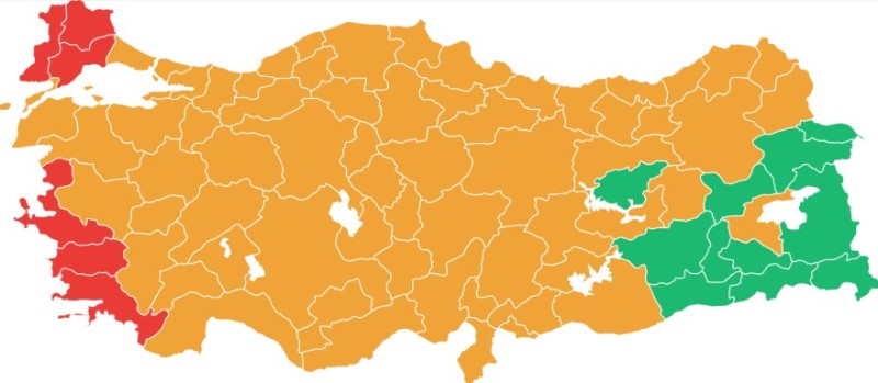
Ergene Election Results
Results of the Turkish parliamentary general elections

Other Ergene Statistics
Other statistics related to the Ergene region
Ergene Topics

History
History of Ergene

Geography
Geography of Ergene

Education
Ergene educational institutions

Administrative Status
Ergene administrative administrations

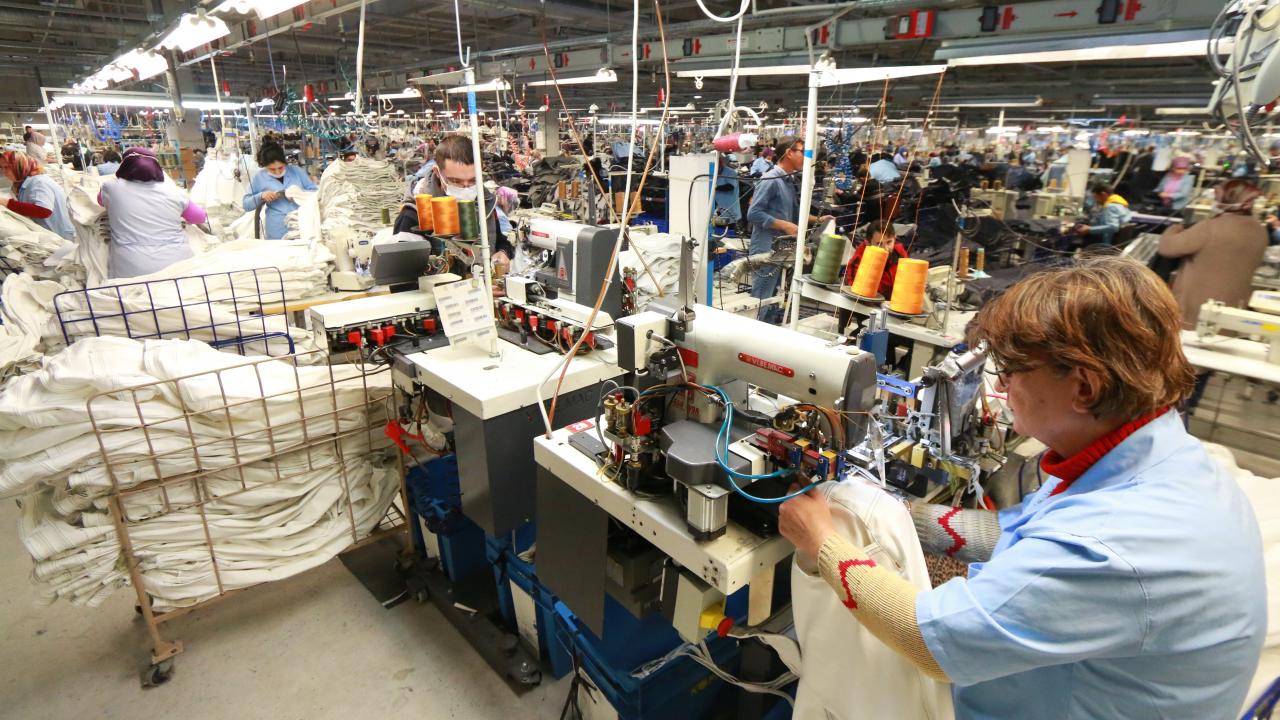
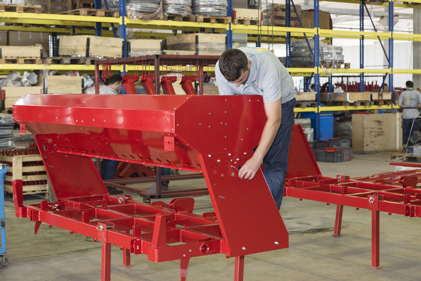
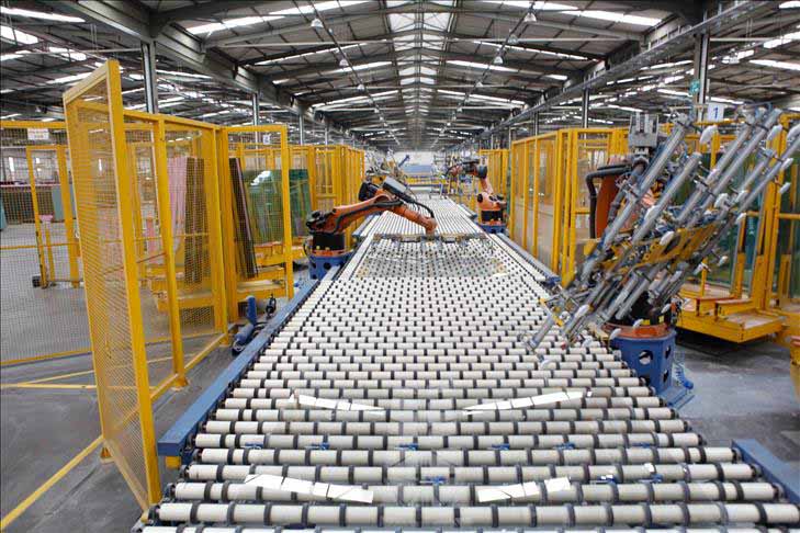
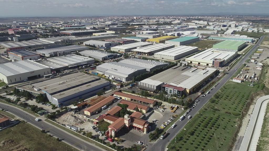
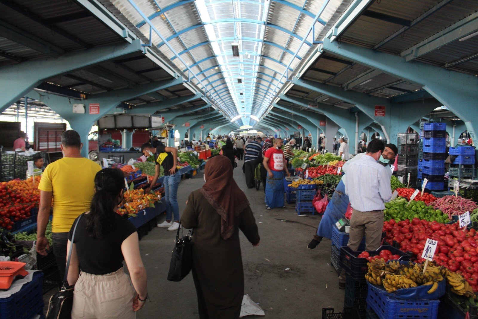
Economy
Ergene economy

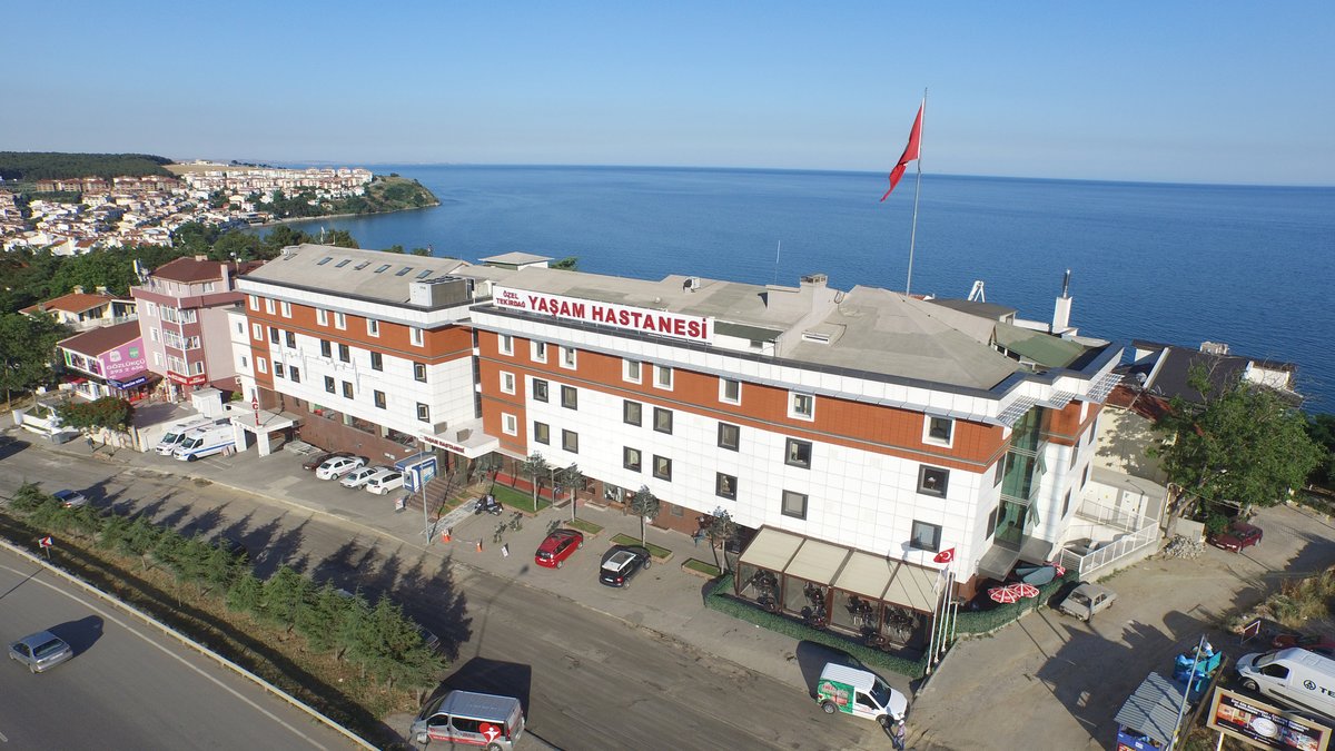
Health
Ergene health institutions

Transport
Ergene transportation information

Press
Ergene press organizations

Sport
Ergene sports infrastructure and clubs

Celebrities
Celebrities born in Ergene
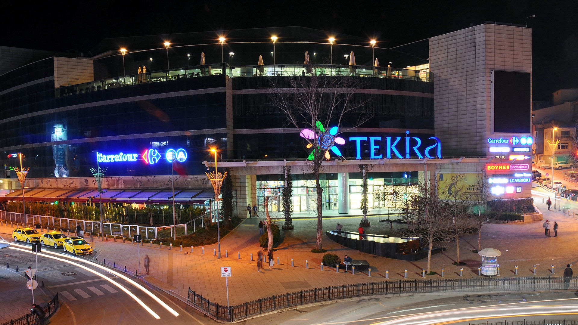
Ergene Tourism Information
Updating
Data entry on our pages is ongoing and will be published as soon as possible.
Updating
Data entry on our pages is ongoing and will be published as soon as possible.
Updating
Data entry on our pages is ongoing and will be published as soon as possible.
Updating
Data entry on our pages is ongoing and will be published as soon as possible.
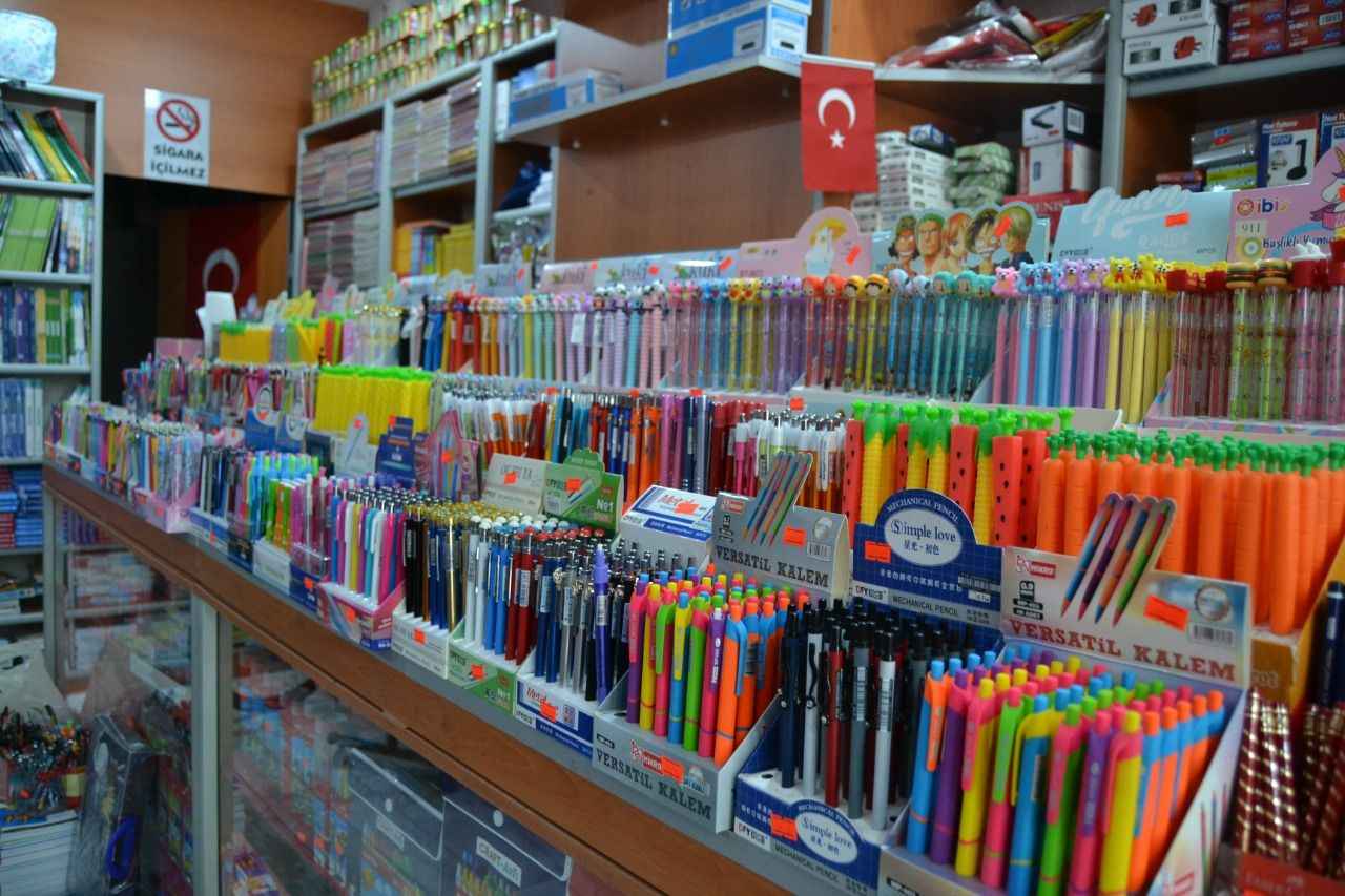
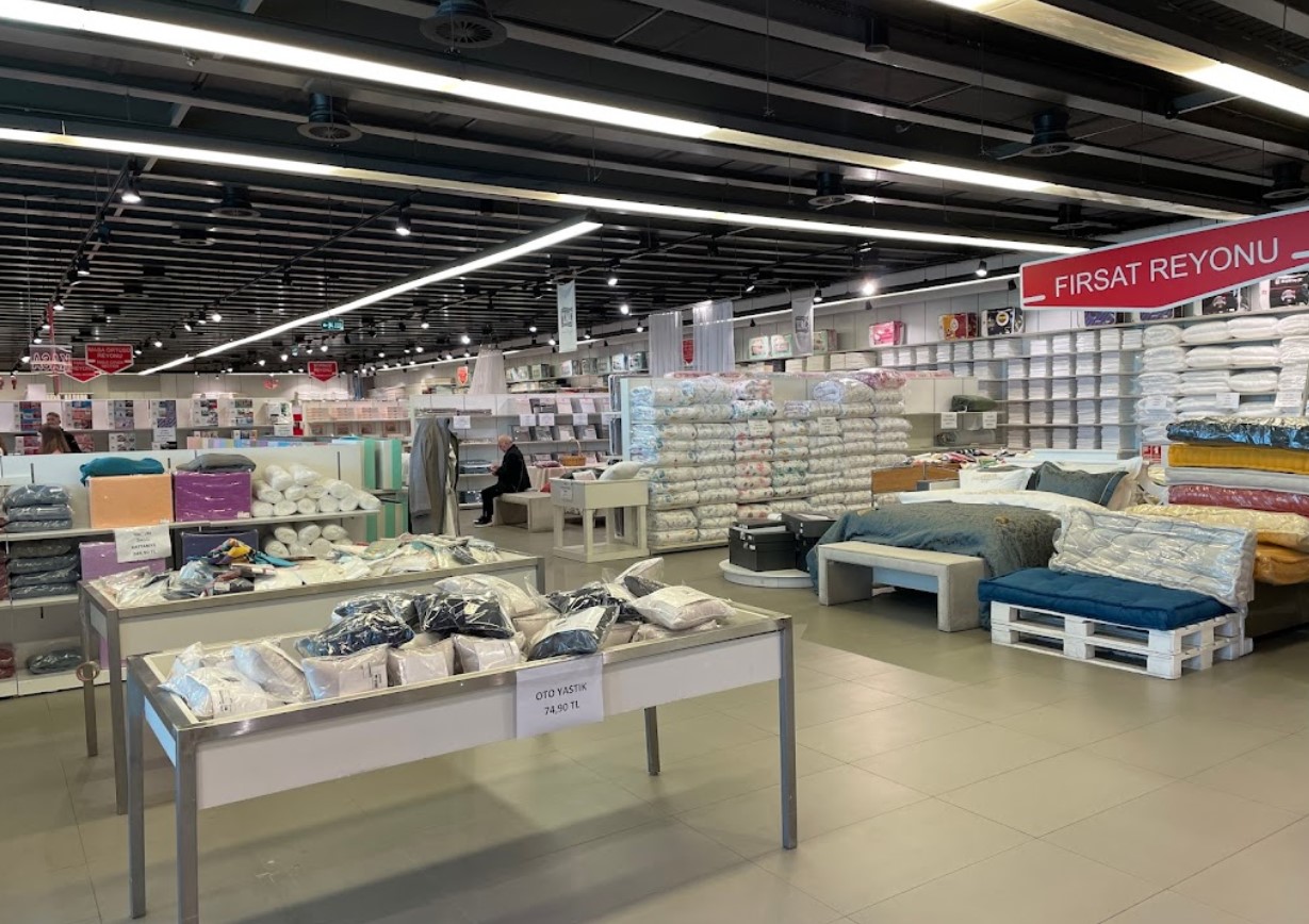
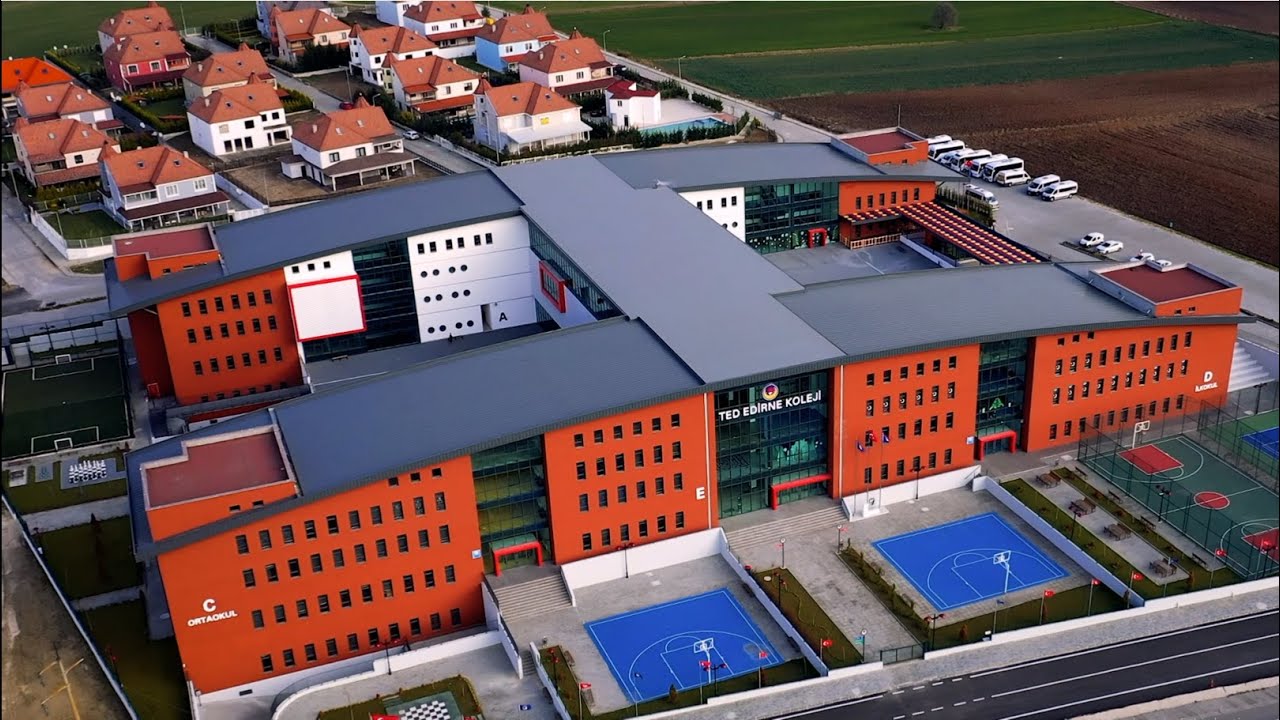
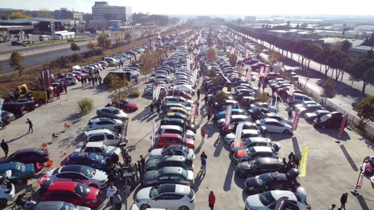
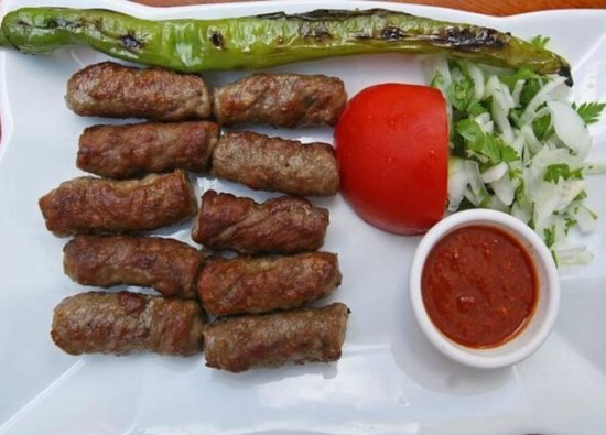
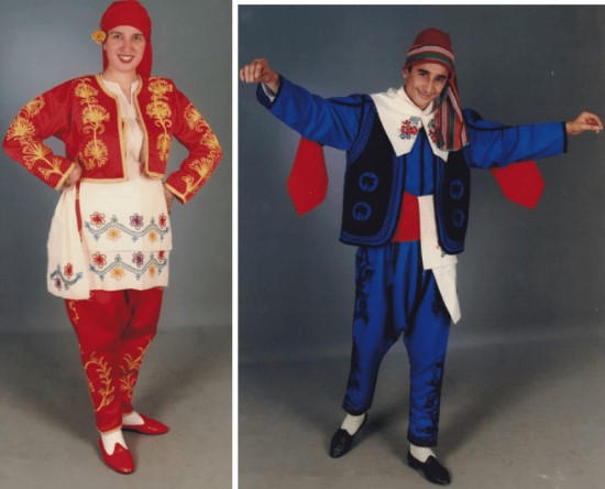
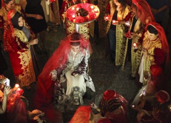
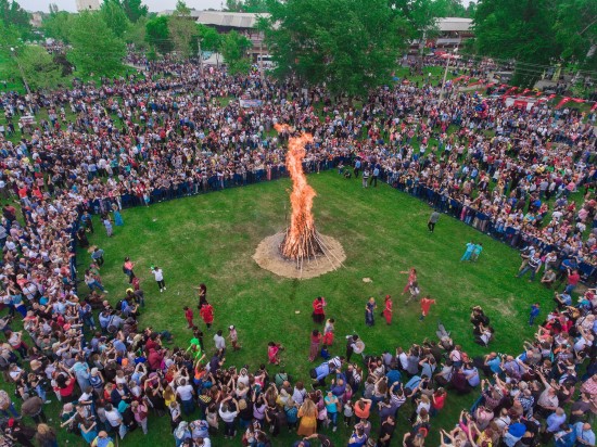
Ergene Photos
