")


June
Monday
Meriç (GR) - Evros - Еврос - Έβρου
The Evros Regional Unit is one of the regional units of the Thrace region of Greece. Located in the northeastern tip of Greece, on the country's natural border with Bulgaria to the north and Turkey to the east, it is one of three tri-national points in Greece. To the west, it borders the Rhodope Regional Unit, accessible via the Egnatia Highway, and to the south, it is surrounded by the Thracian Sea.
The provincial capital, Alexandroupoli, is 840 km from Athens, 340 km from Thessaloniki, 295 km from Istanbul, and 60 km from Komotini, the capital of the East Macedonia-Thrace region. It is the farthest unit from Athens, taking its name from the Evros River, the largest in the Balkans and of the same name, which flows across the Greece-Bulgaria and Greece-Turkey borders.
Evros is one of the largest prefectures in Greece. It is part of the Thrace geographic region (Western Thrace) and includes the island of Samothrace in the northern Aegean Sea. The prefecture is approximately 150 kilometres (93 mi) long from north to south (excluding Samothrace). Its width varies from 70 to 100 kilometres (43 to 62 mi) from east to west. Its most important rivers are the Evros and its tributary, the Arda.
The Rhodope Mountains occupy the west and northwest of the prefecture. The south of the prefecture is surrounded by the Aegean Sea. The Evros Valley is flat, while the island of Samothrace is mountainous.
The coastal areas of the prefecture have a predominantly Mediterranean climate, while the northern parts and the mountainous areas have a colder continental climate. Evros is home to the Evros Plain, the largest in Greece.
Evros is a lowland region, 10.3% of which is mountainous; however, 62.4% of the vast plains constitute a large part of cultivated land. The Evros River, its tributaries, and numerous irrigation canals contribute to the creation of arable land.
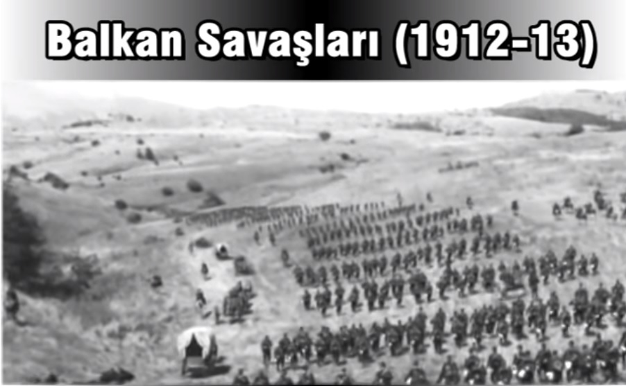
As part of the Department of Thrace, the territory of the Evros Prefectural Government follows the fate of all of Thrace. In 1821, the districts of Evros such as Lavra and Samothrace revolted. However, integration into Greece did not occur until 1920, when Bulgaria was forced to cede Thrace to Greece under the Treaty of Neuilly. It was initially part of the Prefecture of Thrace, but the prefecture was divided in 1930 into the Prefectures of Xanthi, Rhodope, and Evros. During the Greco-Turkish War of 1919–1922, many refugees arrived in Evros, and new towns such as Orestiada were built. The Evros River valley has flooded several times, the most recent floods occurring in 2005, 2006, 2014 and 2021, when multiple and largest floods of recent decades occurred.
Evros
|
Evros Governorship
|
|
| Area | 4.242 km² |
| Population 2024 | 134.417 |
| Telephone Area Code | 255x0 |
| License Plate Code | EB - MX - OR |
| Postal Code | 68xxx |
| Governor of Evros | Evangelos Poulilios |
| Update | |
| View | 4.181 |
| District Populations Evros (2021) | ||
|---|---|---|
| Order | Districts | Population |
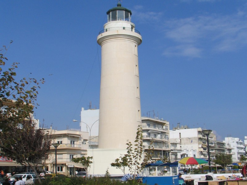
| 1 | Alexandroupoli | 71.751 |
| 2 | Orestiada | 31.686 |
| 3 | Soufli | 11.709 |
| 4 | Samothrace | 2.596 |
| 5 | Didymoteicho | 1.606 |
| Total Population (2021) | 119.348 | |

Alexandroupoli

Didymoteicho

Orestiada

Samothrace

Soufli


Evros Tourism Information


Updating
Data entry on our pages is ongoing and will be published as soon as possible.
Updating
Data entry on our pages is ongoing and will be published as soon as possible.
Updating
Data entry on our pages is ongoing and will be published as soon as possible.
Updating
Data entry on our pages is ongoing and will be published as soon as possible.
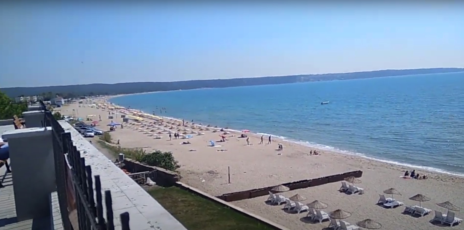
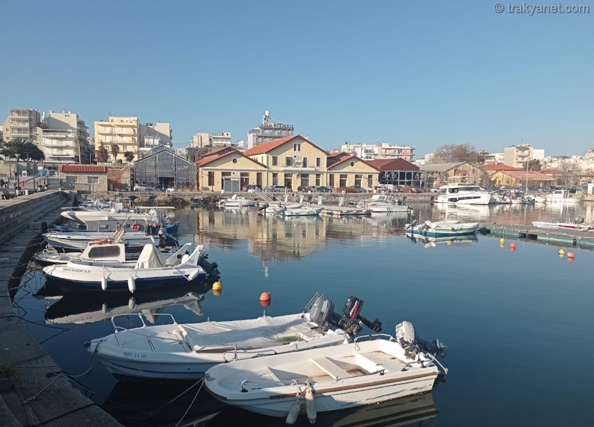
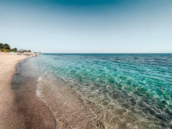
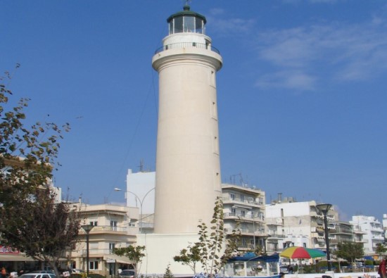
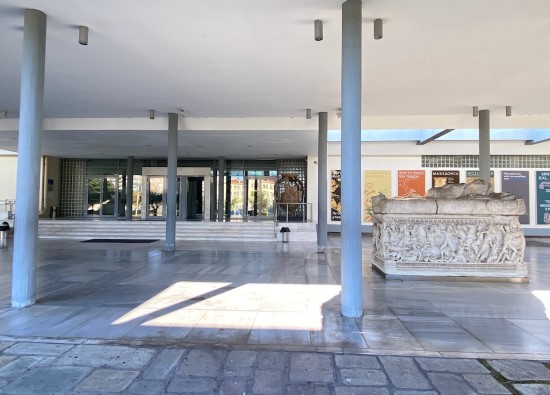
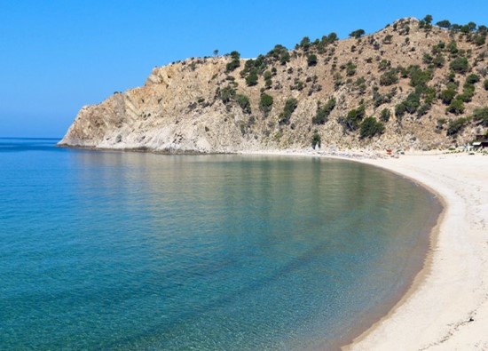
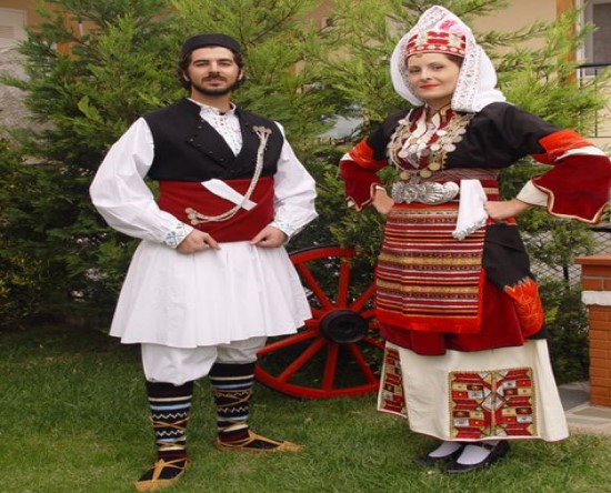
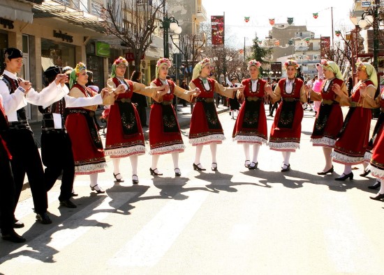
Evros Photos