")


June
Sunday
Muratlı - Muratli - Муратли - Μουράτλι
Muratli is a strategic settlement that has attracted the attention of industrial establishments due to its location at the center of the Istanbul, Europe and Tekirdag railway triangle and has hosted the most established agricultural and livestock production in the region with its fertile lands. Muratli's logistic value has increased even more with the Tekirdag Port that has become active recently.
Muratli has assumed the role of being a center in agriculture, industry and logistics. The development of this center will make a significant contribution to the development of the district.
The pollution of the Ergene River is also among the most important problems of Muratli district. In addition, it is essential to develop the socio-cultural infrastructure of Muratli, which is a transit point in transportation and an important center in agricultural and industrial production.
Muratli is a district of Tekirdag province, 23 km from the city center. To the east are the districts of Corlu and Ergene, to the south is Tekirdag, and to the north is the Luleburgaz district of Kirklareli province.
There are no high mountains or valleys in the district. The district's lands generally consist of broad-based and fertile flat areas (plains). While some sections are rugged, their elevations are very low.
Muratli's proximity to Istanbul, its proximity to Tekirdag Port, its proximity to the D-100 Highway, and the fact that the Istanbul-Edirne-Europe railway passes through Muratli have made it a preferred region for industrial establishments.
One of the features that makes Muratli interesting is that a railway passes right through the middle of the district. Muratli is one of three districts in Turkiye with a railway passing right through the middle. The others are Polatli-Ankara and Nusaybin-Mardin.
The fact that Muratli's center has been inhabited since ancient times is understood from the jars and copper fragments found in the foundations of the city ruins at a location called Zindan Ustu (now Sari Bayir), near the Inanli Agricultural Enterprise (formerly known as the Inanli cowshed and stallion storage). The Muratli Baglar area is also known to be an ancient settlement.
Muratli
|
Muratli District Governorate
|
Muratli Municipality
|
| Area | 388 km² |
| Altitude | 82 m |
| Population 2025 | 30.410 |
| Telephone Area Code | 282 |
| License Plate Code | 59 |
| Postal Code | 59700 |
| Muratli District Governor | Aytekin Yilmaz |
| Mayor of Muratli | Varol Turel |
| Update | |
| View | 3.392 |
Muratli Statistics
Detailed statistical data of the Muratli region are available on our pages.

Muratli Population Information
Province, district, town, neighborhood, and village population information

Muratli Migration Information
Immigration information received and given by Thracian settlements

Muratli Economic Information
Detailed statistics on the livelihoods of the Thracian people

Muratli Tourism Information
Tourism data of the Muratli region

Muratli Health Information
Health personnel statistics with birth and death information in Muratli

Muratli Election Results
Results of the Turkish parliamentary general elections

Other Muratli Statistics
Other statistics related to the Muratli region
Muratli Topics

History
History of Muratli

Geography
Geography of Muratli

Education
Muratli educational institutions

Administrative Status
Muratli administrative administrations

Economy
Muratli economy

Health
Muratli health institutions

Transport
Muratli transportation information

Press
Muratli press organizations

Sport
Muratli sports infrastructure and clubs

Celebrities
Celebrities born in Muratli
Muratli Tourism Information
Updating
Data entry on our pages is ongoing and will be published as soon as possible.
Updating
Data entry on our pages is ongoing and will be published as soon as possible.
Updating
Data entry on our pages is ongoing and will be published as soon as possible.
Updating
Data entry on our pages is ongoing and will be published as soon as possible.
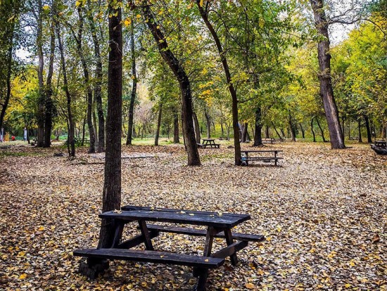
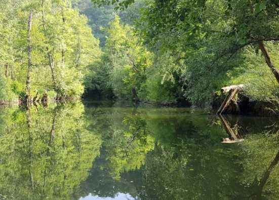
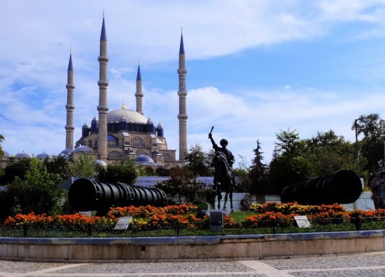
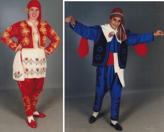
Muratli Photos

Muratli Transportation
- Rural Neighborhoods
- Arzulu - Asagisevindikli - Aydinkoy - Balabanli - Ballihoca - Cevrimkaya - Hanoglu - Inanli - Kepenekli - Kirkkepenekli - Musellim - Yavasca - Yesilsirt - Yukarisivindikli - Yukarisirt - Yurtbekler