")


June
Friday
Pınarhisar - Pinarhisar - Бунархисар - Πιναρχισάρ
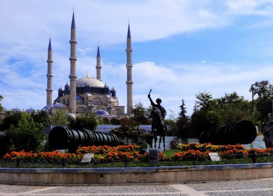
It is a settlement that was settled in the city taken from the Byzantines during the reign of Murat I and the ruins of the castle left by them, located on the route of Suleiman the Magnificent's 1st Vienna Expedition and has raised many poets, doctors and bureaucrats. The city, which is said to have existed since ancient Greece, is a cultural treasure with historical remains from different periods and natural beauties.
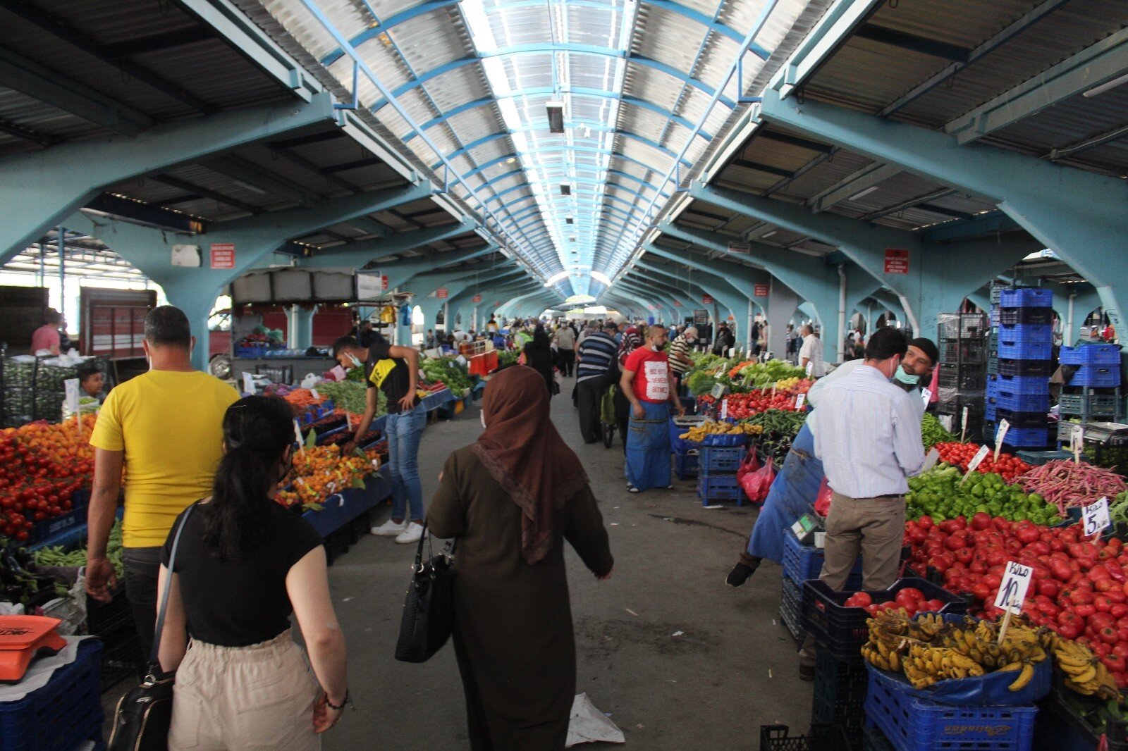
It is known as one of the centers where rice production can be done and where the best rice was produced in ancient times with the Kaynarca Plain located within the city borders. A large part of the district's residents earn their living from agriculture and animal husbandry.
In and around the city. The route markings of the Sultans Road have been made recently and long walks starting from Europe and passing through Pinarhisar are organized to attract attention to this road.
In this settlement where nature, history and agriculture dominate, the development of tourism and increasing efficiency in agricultural production will accelerate the development of the district.
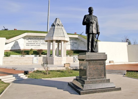
Pinarhisar, which was captured from the Byzantines by Gazi Mihal in 1368 during the reign of Murat I, is one of the historical cities of Kirklareli.
It was occupied by the Russians in the 1877-78 Ottoman-Russian War and a large part of the Balkan War took place here.
It was occupied by the Bulgarians in 1912 and taken back on July 23, 1913.
After the First World War, it was occupied by the Greeks and taken back on November 8, 1922.
It became a district in 1911, a sub-district again in 1915 and its current district status in 1953.
It became a municipality in 1909.
The first mayor was Mehmet Aga.
Former Libyan President Sadullah Kologlu (father of Orhan and Doğan Kologullari) served as district governor here in 1913.
Today, the historical Sadullah Kologlu in the district center Kologlu Primary School was built during his time.
Pinarhisar is located on the old Istanbul Road, at the Luleburgaz-Kirklareli road junction.
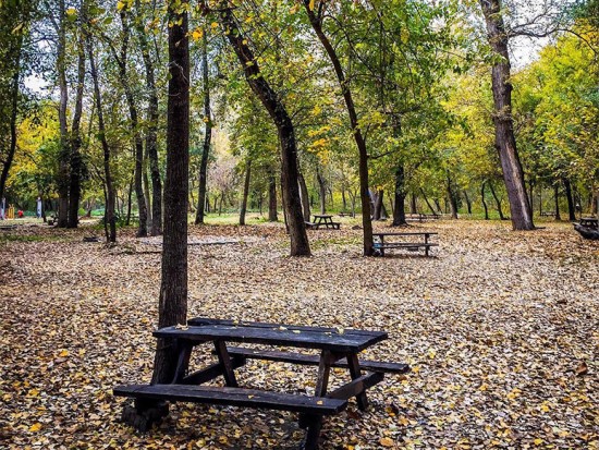
The northern parts of the district are shaped by hills and cliffs reaching 500-600 meters. The northern part of the district is covered with forests.
To the east is Vize District, to the west is Kirklareli Province, to the south is Luleburgaz District, and to the north is Demirkoy District.
The district's elevation above sea level is 192 meters.
Pinarhisar
|
Pinarhisar District Governorate
|
Pinarhisar Municipality
|
| Area | 518 km² |
| Altitude | 190 m |
| Population 2025 | 17.694 |
| Telephone Area Code | 288 |
| License Plate Code | 39 |
| Postal Code | 39300 - 39302 - 39310 |
| Pinarhisar District Governor | Enver Ozderin |
| Mayor of Pinarhisar | Ihsan Talay |
| Update | |
| View | 3.873 |
Pinarhisar Statistics
Detailed statistical data of the Pinarhisar region are available on our pages.

Pinarhisar Population Information
Province, district, town, neighborhood, and village population information

Pinarhisar Migration Information
Immigration information received and given by Thracian settlements

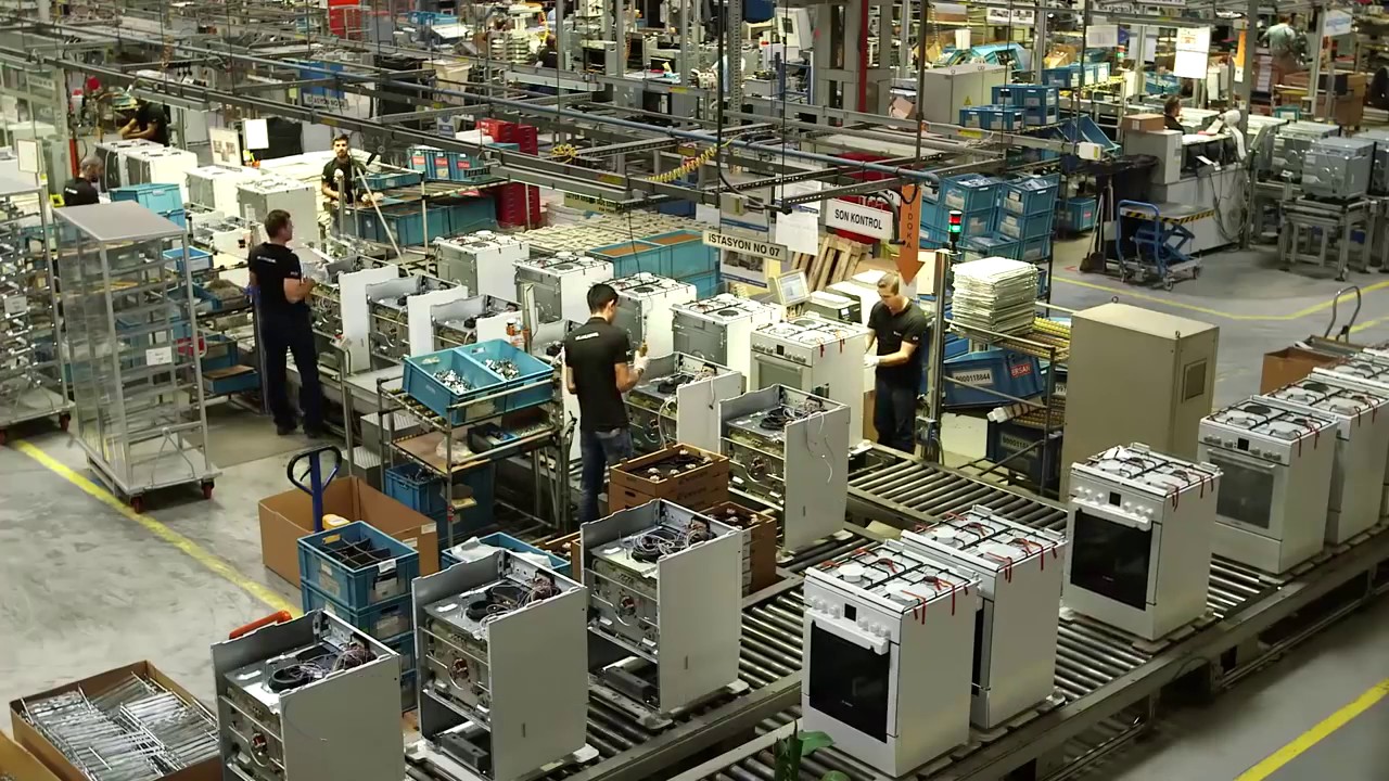
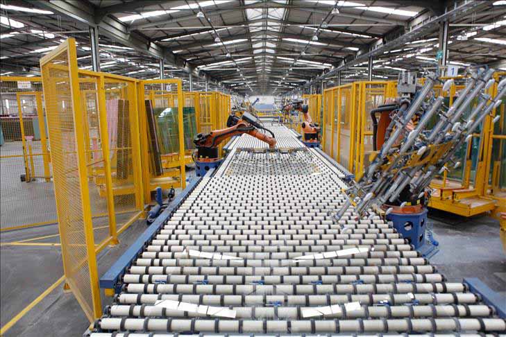
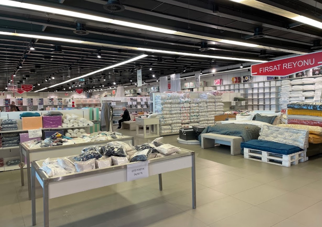
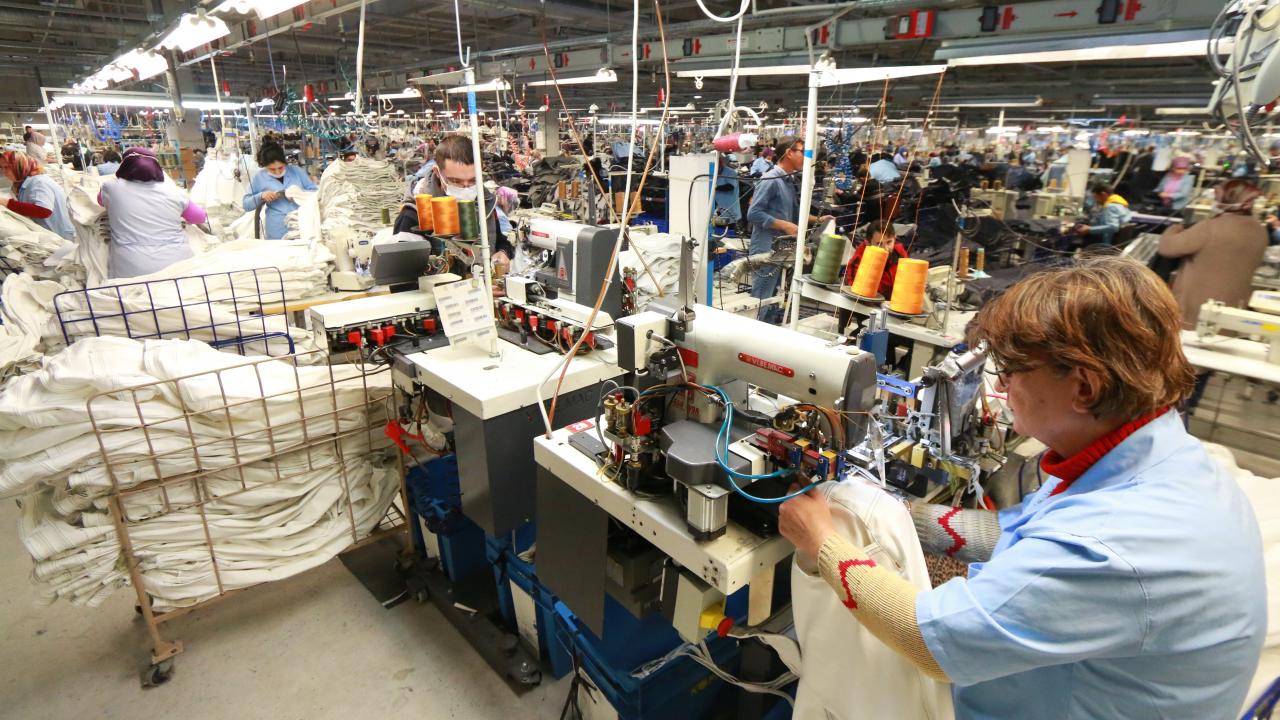
Pinarhisar Economic Information
Detailed statistics on the livelihoods of the Thracian people

Pinarhisar Tourism Information
Tourism data of the Pinarhisar region

Pinarhisar Health Information
Health personnel statistics with birth and death information in Pinarhisar

Pinarhisar Election Results
Results of the Turkish parliamentary general elections

Other Pinarhisar Statistics
Other statistics related to the Pinarhisar region
Pinarhisar Topics

History
History of Pinarhisar

Geography
Geography of Pinarhisar

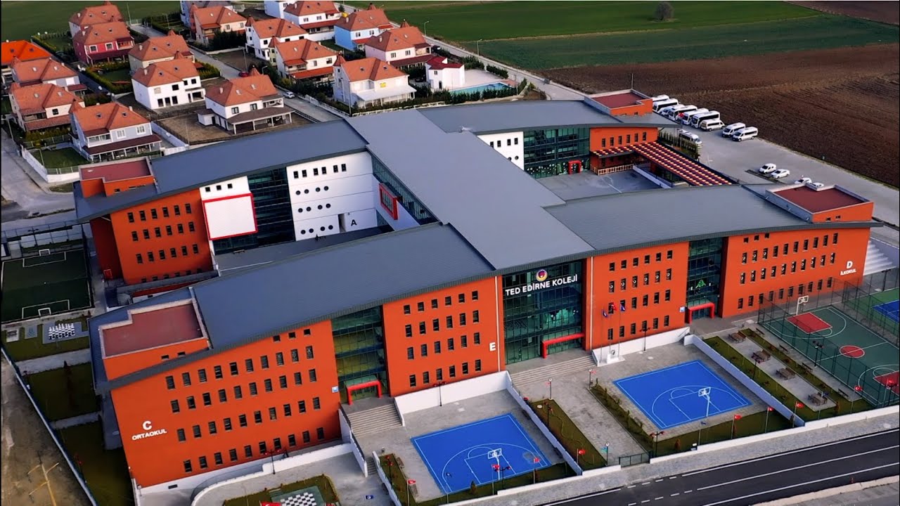
Education
Pinarhisar educational institutions

Administrative Status
Pinarhisar administrative administrations

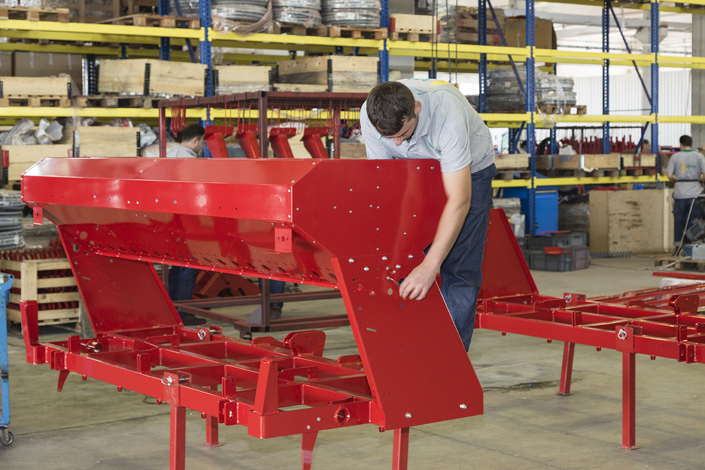
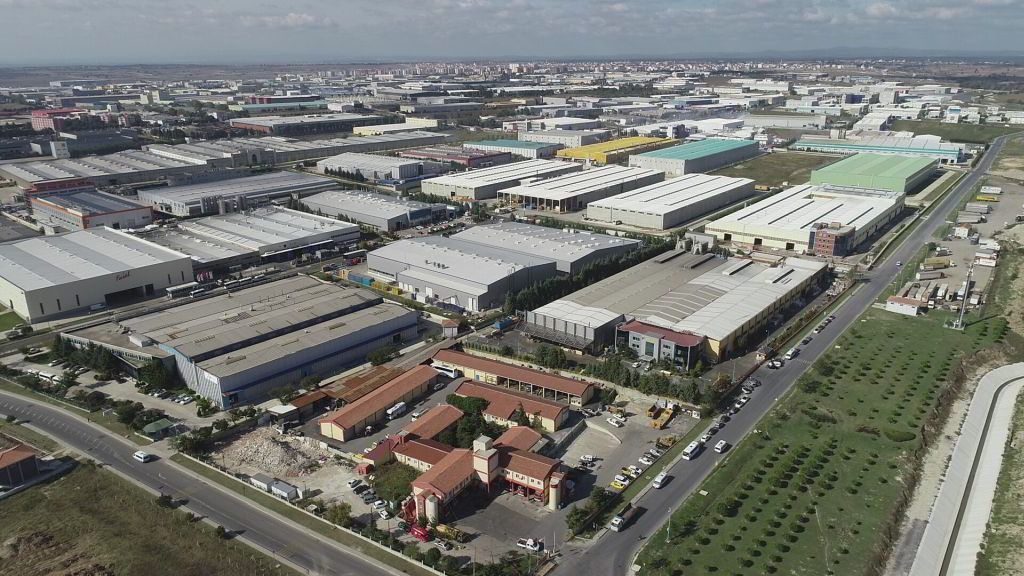
Economy
Pinarhisar economy

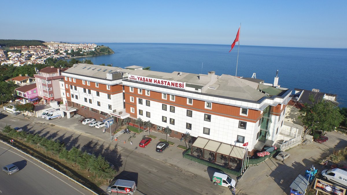
Health
Pinarhisar health institutions

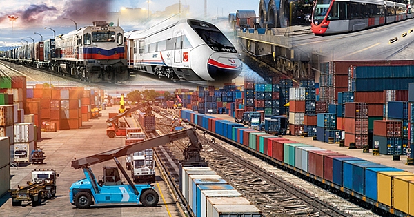
Transport
Pinarhisar transportation information

Press
Pinarhisar press organizations

Sport
Pinarhisar sports infrastructure and clubs

Celebrities
Celebrities born in Pinarhisar
Pinarhisar Tourism Information
Updating
Data entry on our pages is ongoing and will be published as soon as possible.
Updating
Data entry on our pages is ongoing and will be published as soon as possible.
Updating
Data entry on our pages is ongoing and will be published as soon as possible.
Updating
Data entry on our pages is ongoing and will be published as soon as possible.
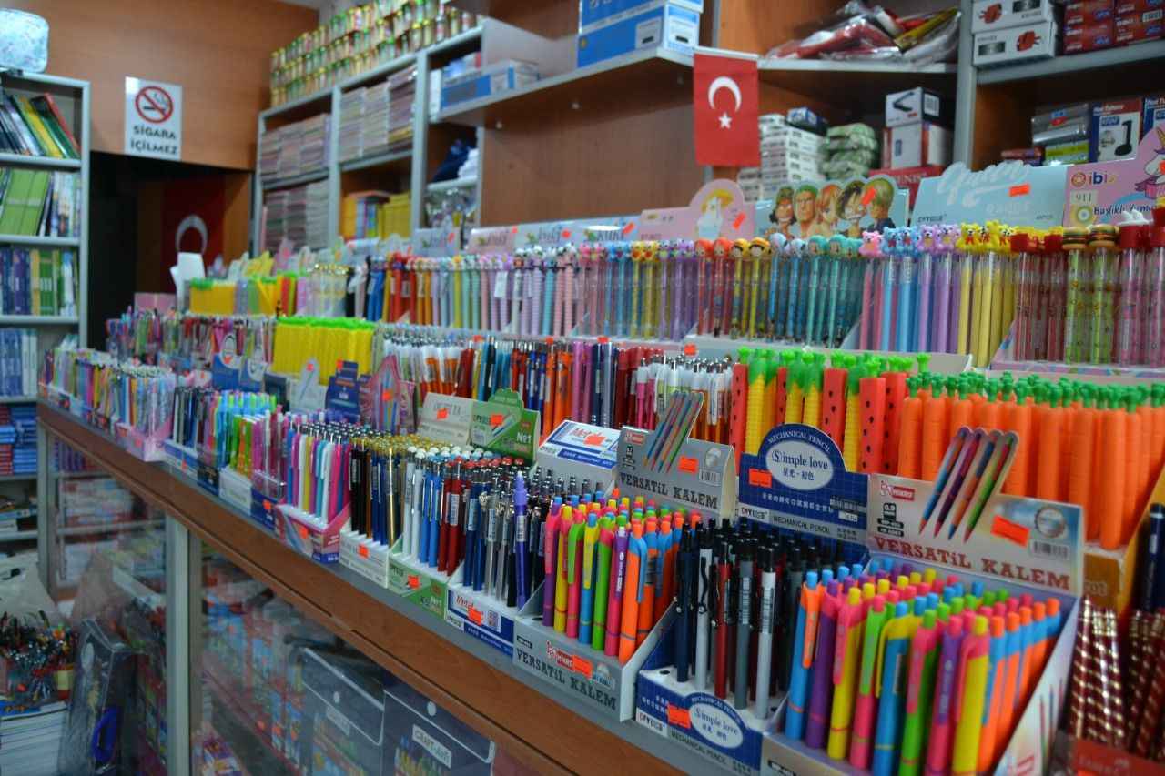
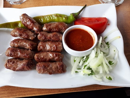
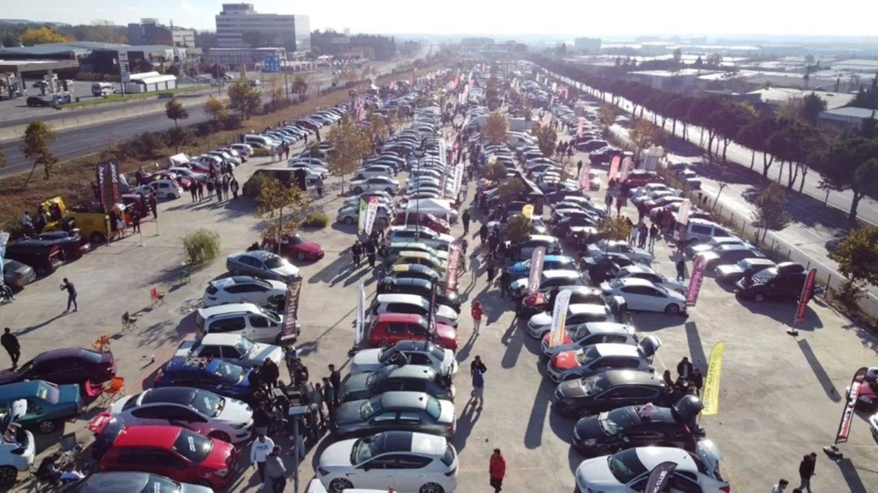
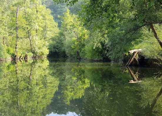
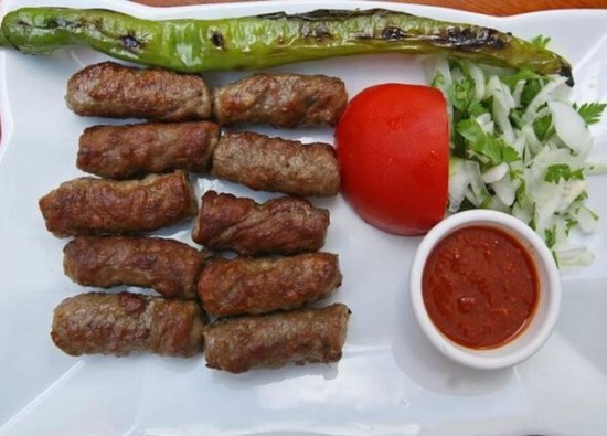
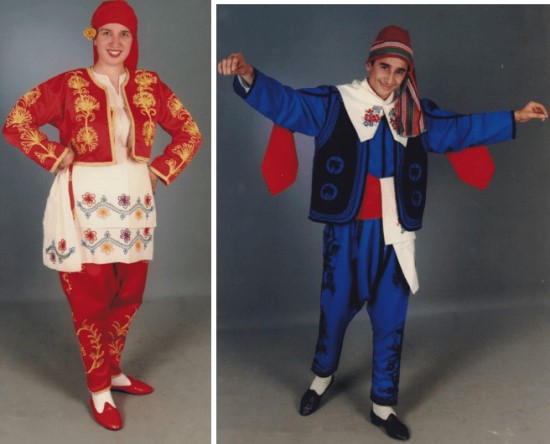
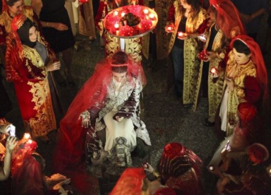
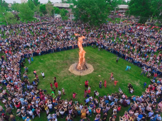
Pinarhisar Photos
