")


July
Thursday
Hayrabolu - Hayrabolu - Хайраболу - Χαριούπολη
Hayrabolu, in addition to having intensive agricultural production, which is a general characteristic of Thrace, has also managed to gain a place in the agricultural machinery market. Two large companies and many SMEs compete in the world market in agricultural machinery production.
The agricultural machinery sector is directly affected by the agricultural sector. The incentives and supports applied by the state in agriculture determine the direction of this sector as well as agriculture. Exporting producers need foreign trade consultancy in this regard.
The most important impasse of the sector is that qualified personnel to work in the sector cannot be attracted to Hayrabolu. In most companies, including the large ones, the number of engineers working for long periods is very low. Another obstacle is that although companies need R&D for the production of innovative machines, they do not have this unit.
The vast majority of Hayrabolu residents earn income from agriculture and animal husbandry in addition to the agricultural machinery sector. It can be said that social life is not sufficiently developed in the district, where the average income is relatively higher.
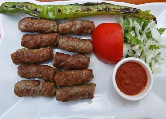
Another important value of Hayrabolu is the Hayrabolu cheese dessert, which has a gastronomic specialty. This taste, known in Thrace, has not been sufficiently promoted throughout Turkey. Often confused with Kemal Pasha dessert, the cheese dessert has an appetizing appearance and taste when garnished with tahini and walnuts.
Its lands are bordered by the Suleymanpasa and Muratli districts to the east, the Malkara district to the south, the Pehlivanköy, Babaeski and Luleburgaz districts of Kirklareli to the north, and the Uzunkopru district of Edirne to the west.
The district is 19 km away from the Alpullu railway station and has convenient transportation.
The district is 52 km away from the city center and 26 km away from the D100 highway. The district has a surface area of 1014 km2.
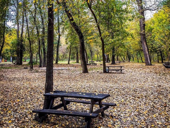
60% of the land is plain, 35% is slightly hilly, and 5% is covered with forest. The highest point in the district above sea level is Kabahoyuk Hill at 269 meters. The lower northwestern extensions of Ganos (Isiklar) Mountain in the western parts of Hayrabolu are rugged. The areas outside of this are a plateau consisting of undivided and occasionally undulating plains.
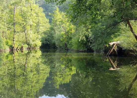
The Hayrabolu Stream, an important tributary of the Ergene River, collects the waters of the district. Flowing in a south-north direction, Hayrabolu Stream passes through the Hayrabolu district center and flows into the Ergene River in the north. It is one of the important tributaries of the Ergene River.
There are 22 irrigation ponds in Hayrabolu. These are Bayramsah, Buyukkarakarli, Cikrikci, Dambaslar, Dogcali, Parmaksiz, Susuzmusellim, Canhidir, Umurbey, Cerkezmusellim, Hedeyli, Karababa, Karakavak, Karayahsi, Kutlugun, Kiliclar, Lahana, Orey, Temrezli, Soylu, Ovenler and the central reservoirs of Hayrabolu.
Hayrabolu experiences a transitional Thracian climate. Winters are cold with snow and rain, while summers are hot with little rain. The coldest temperature in the district, famous for its dry cold, was recorded as -10 degrees Celsius.
Since there are no uninterrupted mountain ranges in the district, like many parts of Thrace, it is open to the severe continental activities of the Balkan Peninsula. Therefore, some parts are affected by severe cold spells and severe heat waves. There is no meteorological station in the district.
Famous for its wind, Hayrabolu experiences windy weather all year round. The northwesterly wind is more common. Secondary winds are the easterly and southerly winds.
Hayrabolu
|
Hayrabolu District Governorate
|
Hayrabolu Municipality
|
| Area | 1.009 km² |
| Altitude | 66 m |
| Population 2025 | 29.706 |
| Telephone Area Code | 282 |
| License Plate Code | 59 |
| Postal Code | 59400 |
| Hayrabolu District Governor | Eyup Firat |
| Mayor of Hayrabolu | Tuncer Basoglu |
| Update | |
| View | 4.698 |
Hayrabolu Statistics
Detailed statistical data of the Hayrabolu region are available on our pages.

Hayrabolu Population Information
Province, district, town, neighborhood, and village population information

Hayrabolu Migration Information
Immigration information received and given by Thracian settlements

Hayrabolu Economic Information
Detailed statistics on the livelihoods of the Thracian people

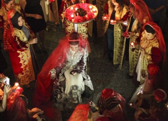
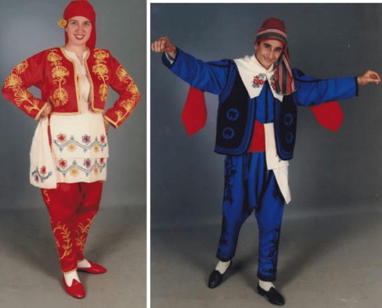
Hayrabolu Tourism Information
Tourism data of the Hayrabolu region

Hayrabolu Health Information
Health personnel statistics with birth and death information in Hayrabolu

Hayrabolu Election Results
Results of the Turkish parliamentary general elections

Other Hayrabolu Statistics
Other statistics related to the Hayrabolu region
Hayrabolu Topics

History
History of Hayrabolu

Geography
Geography of Hayrabolu

Education
Hayrabolu educational institutions

Administrative Status
Hayrabolu administrative administrations

Economy
Hayrabolu economy

Health
Hayrabolu health institutions

Transport
Hayrabolu transportation information

Press
Hayrabolu press organizations

Sport
Hayrabolu sports infrastructure and clubs

Celebrities
Celebrities born in Hayrabolu
Hayrabolu Tourism Information
Updating
Data entry on our pages is ongoing and will be published as soon as possible.
Updating
Data entry on our pages is ongoing and will be published as soon as possible.
Updating
Data entry on our pages is ongoing and will be published as soon as possible.
Updating
Data entry on our pages is ongoing and will be published as soon as possible.
Hayrabolu Photos

Hayrabolu Transportation
- Rural Neighborhoods
- Atakoy - Avluobasi - Aydinlar - Bayramsah - Buzagci - Buyukkarakarli - Cambazdere - Canhidir - Cene - Cerkezmusellim - Cikrikci - Dambaslar - Danisment - Delibedir - Dugcali - Emiryakup - Fahrioglu - Hacilli - Haskoy - Hedeyli - Ismailli - Kabahoyuk - Kadriye - Kandamis - Karababa - Karaburcek - Karakavak - Karayahsi - Kemallar - Kiliclar - Kurtdere - Kutlugun - Kucukkarakarli - Lahana - Muzruplu - Orey - Ovenler - Parmaksiz - Soylu - Subasi - Susuzmusellim - Salgamli - Tatarli - Temrezli - Umurbey - Umurcu - Yorguc - Yorukler